The world is living in the era of consolidation of renewable energies, according to the International Energy Agency In 2020 alone, solar energy use grew by around 20%.
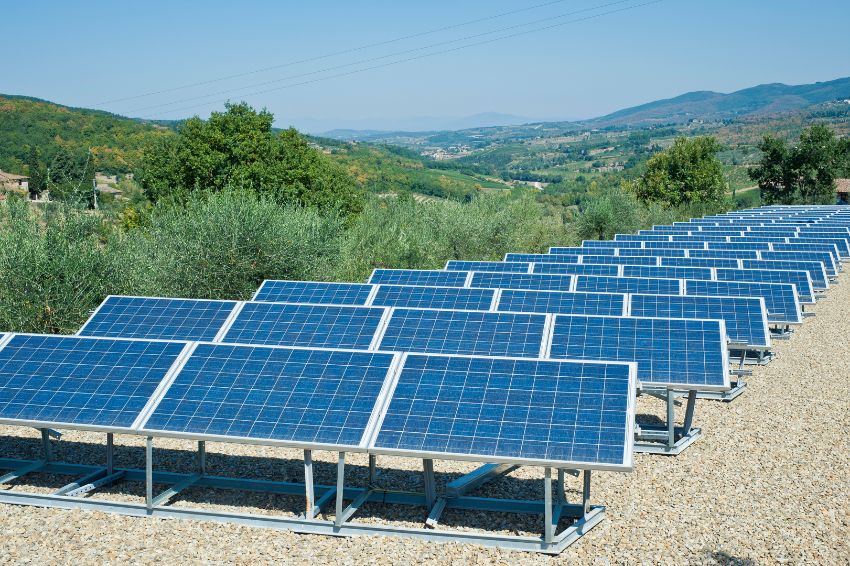
And Brazil has led the implementation and use of solar panels in Latin America. After all, the intense sun and the extension of our lands guarantee fertile soil for this technology.
However, there is still a lack of technologies that help companies in the sector meet the new demand for solar energy projects. After all, serving new customers and maintaining accuracy requires more than just more agile processes.
Happily, There are already resources that promise to speed up your project and make it highly scalable.
In this article, you will learn five reasons to join drone mapping and how they can speed up your results. Are you curious? So stay with us and enjoy reading.
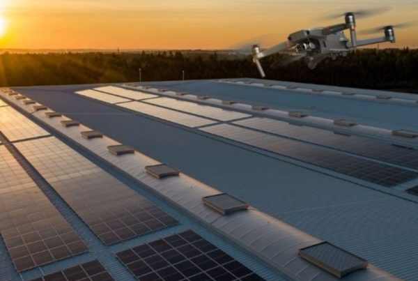
Solar energy project: 5 reasons to use drones
That's what you read! In fact, drones have also been used during the development of projects to generate solar energy.
And there are at least five reasons why this technology is gaining more and more attention in this market.
Below, we list each of them. What benefits can using a drone bring to your project?? To find out, check out each topic below:
5 reasons to use drones in a solar energy project
98% Increase in Accuracy of Solar Power Projects
Does your company still perform data collection and measurements manually? So you're probably familiar with some errors and disadvantages that this process brings to your project, right?
The high margin of error, the rate of rework, the inaccuracy of measurements, in addition to the high risk of workplace accidents… This is just to mention a few challenges.
And the answer to all of them is to adopt a new perspective: you have to look from above!

And how is that possible? With drone mapping. After flight and image processing, drone photos become a georeferenced map.
This means that every inch within the image that appears on your screen is identical to reality, enabling the calculation of areas and measurements online. Exactly like the GIF above.
This is how Lumenk increased the accuracy of its solar energy projects by 98%. In fact, to find out how the company implemented this technology in practice, check out this case: Lumenk case.
More productivity
Solar energy companies that have not adopted drones in their projects are less productive.
In fact, it is very simple to prove this. Consider that, with each new project, a group of operators will need to travel to the area and take measurements of the ceiling of a residence or business. Depending on the size of the place, this could take hours and require several employees.
With the use of a drone, this entire step can be completed in minutes. Thus, the project execution time will be much shorter. Furthermore, while only one or two employees obtain images via drone, the remaining team members can be assigned to other projects.
This way, your team would be free to execute more projects simultaneously.
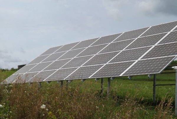
Scalable solar energy projects
With drones, the entire design stage becomes highly simplified. This makes it much easier to create a replicable work routine. This benefit guarantees the possibility of scaling your work. I.e, create autonomous teams that do not depend on your commands to perform a job well.
In practice, this means much more freedom to take advantage of the “boom” of solar energy in Brazil. Furthermore, you will have the opportunity to expand the business or invest in new projects without losing quality in the service you already provide.
Without a doubt, we know that this is the great differentiator of large companies in any sector.

Increase in profitability
The increase in profitability, in fact, is the result of the other three attributes that we have just shown. By delivering a more efficient solar energy project in less time, the market will naturally recognize this difference and “reward” your company for these attributes.
The solar energy market is still incipient. Like this, a company that presents the above characteristics can, with ease, become a reference and capture increasingly profitable projects.
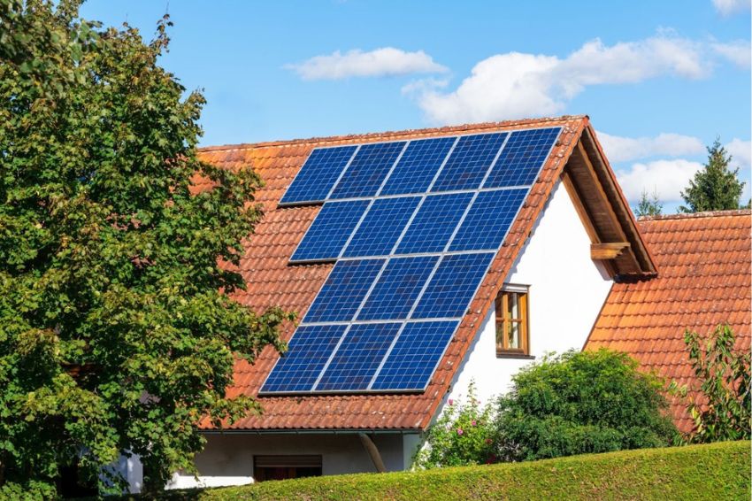
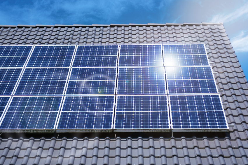
Reduction of work accidents
This topic is another benefit reported by partner companies in the industry. Indeed, We know that the design phase, in many projects, requires work at altitude. Routinely, it happens to obtain measurements. Therefore, there is a very large risk associated with this activity.
By using drones, this risk is reduced to zero. The operator will even be able to obtain measurements remotely. There is no need to even enter the property or building, if the operator prefers.
How to carry out a solar energy project with drones?
Basically, there are four steps to carrying out a solar energy project with drones. Discover them below:
- Mapping
- Drone Image Processing
- Shading forecast and project completion

Mapping
In this step, the operator controls the drone to fly over the desired area and obtain images. On the Mappa blog, you will find an exclusive article about mapping with drones. To complement your studies, Click here and read it.
Processing
It is at this stage where the “magic” happens and the algorithms transform drone photos into maps that you will use in inspections or when creating new solar energy projects.
In just 10 clicks it is possible to generate an orthomosaic that exactly corresponds to the real area of interest. In other words, even the distances and coordinates are the same.
Like this you will be able to collect information about your project without going to the field and in a matter of moments. To know how these tools work in detail, check out this article.
Shading forecast and project completion
With all the information at hand, it makes finishing your project much easier, right? Drone mapping and image processing optimize processes so you can focus on more strategic tasks, such as shading prediction and project completion.
Now you know the main advantages of solar energy projects with drones: precision, scalability, profitability, productivity and safety. All these benefits are attracting more and more companies in the sector.
What are you waiting for to implement this technology in your company's projects? To ensure that this process is even faster, easier and more intuitive, you can count on Mappa.
After all, our software is capable of delivering accurate maps in just 10 clicks. Are you curious to discover Mappa’s potential in practice? Request your free trial.