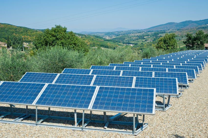
The use of solar energy as a clean, renewable and economical source is growing rapidly in Brazil. This is due to several factors, such as the reduction of the electricity bill by up to 95%, the appreciation of properties.
With all this, the demand for photovoltaic projects has increased on a large scale, becoming a very profitable business for designers and installers.
But did you know that you can use drones in solar projects to make them more accurate and scalable? Even helping you to handle new projects and replace slow and ineffective processes.
Follow our text and discover the advantages of using drones in photovoltaic projects and how to apply this technology in just 6 steps.
Why carry out photovoltaic projects with drones?
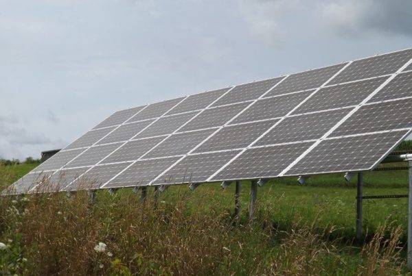
Anyone who has worked with mapping with drones knows that with few people and in a short period of time, it is possible to do the coverage of large areas. This is the first big advantage of using drones for photovoltaic projects.
Especially when dealing with residential and commercial projects, with just one operator it is possible collect images of the entire area in a few minutes. These changes generate more security, savings and above all: more information.
How to carry out photovoltaic projects with drones?
Carrying out aerial mapping with drones is much simpler than it seems. You just need to have the appropriate equipment and be guided by someone who is qualified to get the most out of a flight.
With the use of drones in photovoltaic projects it is possible to make them up to 98% more precise. But how is this gain possible? Through accurate data from orthomosaics and 3D models. With them you will no longer lose any information, whether during the commercial visit, the feasibility study or even the energy simulation.
But what is the step-by-step process for creating a photovoltaic project with drones? Below, we summarize for you the main steps to achieve a project of excellence.
Mapping flight and commercial visit
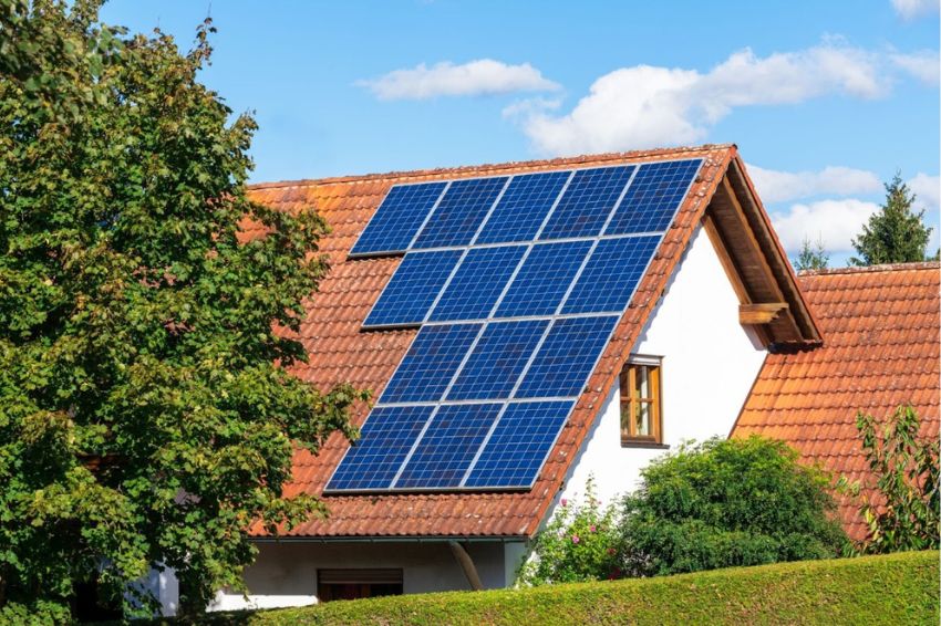
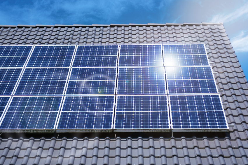
The first step is to carry out the mapping flight in the chosen area, which could be the roof of a residence or plant, a plot of land or any location where you intend to install the devices. photovoltaic panels.
This step is very important, as it will determine the viability of the location chosen for the installation.
Even with a small team, using the drone for this task, the Completion time for this fieldwork will be almost 5 times faster traditional methods were used.
With the drone in the air, the images to be used to obtain the exact measurements of the roof or area of interest for installing the signs will be taken quickly and conveniently.
With this speed, the commercial visit will be more agile and practical, saving time for the next stages of project preparation.
Process drone footage
With the data collection flight completed, it is time to download them to begin processing, that is, creating the images.
This is an important phase in the use of drones for the photovoltaic project, as this is when the installed software will interpret the data collected by the drone to formulate the map.
As Mappa software, just upload the drone images and in 10 clicks your orthomosaic is ready for measurements, area collection and download!
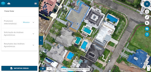
Viability study
With the orthomosaic created, the feasibility study stage for installing the project begins. At this stage, all measurements taken can now be viewed, without leaving any details out.
If any information is missing, simply consult the created orthomosaic again and as many times as necessary.
This is because the maps created by the drone are very easy access and store information safely and accurately.
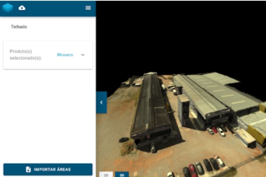
3D model generation
One of the most anticipated products from the use of drones in photovoltaic projects is the 3D model of the mapped area.
With this feature, the project presentation becomes much more attractive and dynamic. The generated virtual environment offers a spot analysis where exactly the solar panels can be placed.
The creation of the 3D model from the created map can be done in the image processing software itself. But the information can also be imported into another program, if that is the user's interest.
Energy generation simulation
The energy generation capacity is a determining factor for the implementation of a solar collection system. This is where the customer will effectively see how the installation is worth it.
Creation of the executive project
The final stage of using drones in photovoltaic projects is the creation of the executive project, where the user can integrate the orthomosaic created by the Mappa software installed on the drone with programs such as AutoCad.
With this integration, the project presentation will be made in a simple way, without losing any details of all the information collected during the flight.
How to make SOLAR ENERGY PROJECTS in AutoCAD?
Conclusion
So, did you already know that it is possible to make photovoltaic projects up to 5x faster using drones? Impressive, isn't it? And after reading this article I bet it also became much clearer what step by step is used to implement this technology.
There are just 6 simple steps, which, with the use of the right technologies, will make your company's projects more efficient, economical and intelligent. So, what are you waiting for to scale processes and even attract new customers?
Speak to one of our experts, understand the return that drone mapping products can generate for your company and get ahead of the competition.